Categories
Month: January 2016
Categories
Contact Us
GLOBAL SURVEY CONSULTANT SDN BHD (202101044019(1444319-U)) A39-2 Kuantan Perdana, Jalan Tun Ismail 1, 25000 Kuantan, Pahang Emel : global_sv@yahoo.com | Tel : 09-5158555 | Fax : 09-5157555
Categories
Scope of work

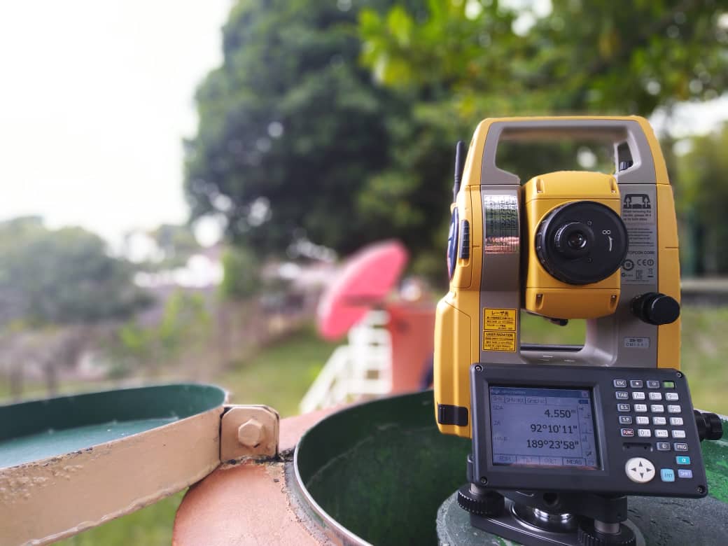
There are several survey service we provided: Cadastral Survey Topographical Survey Engineering Survey Hydrography Survey Land Development Consultant Photogrammetry Survey Utility Detection
Categories
Development Consultation

Provide layout plan for housing development. Manage application for sub-division, partion, strata and amalgamation of land Provide service for pre-comp plan drawing and obtain qualified title of land
Categories
Hydrography Survey

Hydrography survey is a measurement to describe physical features of bodies water and the adjacent land of bodies water. Information will be measured and collected are depth, water levels (tides), currents, temperature, and salinity. All the positioning information can be collected using GNSS (Global Navigation Satellite System) instrument or total station for survey area near […]
Categories
Engineering Survey

Engineering survey is a common term for various civil engineering works. This survey measurement of 3D points (X,Y,Z) for locating, monitoring, and verifying the structure or land either still in construction or as-built. Also included in this scope are deformation survey, topography survey, detail survey, and leveling.
Categories
Cadastral Survey

Cadastral survey is the discipline of the land survey which is related to laws of land ownership (title) and determining of property boundaries. There are several job scope included in cadastral survey: Consultation of TOL (Temporary Occupation of Land). Consultation for obtain permit extraction and removal of rock material. Consultation for obtain permit to use […]
Categories
Company Profile
GLOBAL SURVEY CONSULTANT SDN BHD 202101044019 (1444319-U) is a Licensed Land Surveyor company that is active in various fields of land surveying including Title Surveying, Engineering Surveying, Mining, Hydrography, Topography, Underground Utilities Detection and Mapping and Surveying using drones (UAV). Apart from that, the company acts as a consultant in the field of land development, […]